Showing posts with label Rustler Park. Show all posts

Sunday, September 18, 2011

Rustler Park after the Burn

Recently Armando ("Mando") called a meeting in Rustler Park of 21 professionals from the US Forest Service, Arizona Game & Fish, and other agencies to assess the condition of Rustler after the Horseshoe Two Fire and to decide on the best way of encouraging its recovery. Reed Peters represented the newly-formed Friends of Cave Creek Canyon.

What they saw at Rustler surprised everyone. Normally after an intense crown fire, such as the one that roared through Rustler Park, the soil is sterilized by the high heat, and almost no plants grow for a very long time, possibly years. Even the mycorrhizae––the fungi associated with plant roots which allow seedlings to germinate––need to be reintroduced to sterilized soils. ((Usually rodents perform that service!) No one was prepared for the lush growth of wildflowers and ground cover which greeted everyone at Rustler Park, especially around the old campsites and the start of the Crest Trail.

How can botanists account for the unexpected growth? After puzzling over the situation, they settled on this theory: the backburn done about two weeks before the crown fire blazed through must have removed enough fuel that temperatures at ground level never got high enough to sterilize the soil.

Whatever allowed the strong recovery to take hold (and their theory sounds good to me!), botanists are seeing post-fire plants that they've rarely seen here, and the burnt aspen groves are surging with new growth. Reed was impressed with the number of Arizona (Ponderosa) Pines that still show green on the knoll above the campsites. Keep in mind that we've all been expecting the worst at Rustler and Barfoot Parks!

The Forest Service will remove dead trees in the campground, but will leave standing any that show green. Some of the small dead trees will be cut and left as firewood at the campsites. Workers will chip some trees, but not so many that the mulch interferes with the growth of new plants. The goal is to finish removing dead hazard trees by March, when Spotted Owls begin their nesting season. (Yes––a recent census of Spotted Owls in the Chiricahuas showed that not only do adults survive, they managed to fledge young this year as well!)

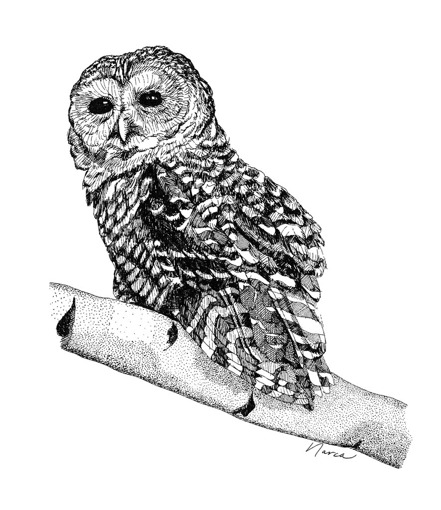
Spotted Owl (Pen & Ink by Narca)

Visitors returning to Rustler Park will, in time, see other changes. Ramadas are planned to shade the picnic tables, since so many trees were burned in the crown fire. Barfoot Lookout will be rebuilt on the same footprint. The bunkhouse will also be rebuilt. The Forest Service still has the original plans for the campground, which were developed in about the 1950s. People reviewing those plans came away very impressed with the skillfully designed layout and will respect the original work, figuring that the basic design can't be improved. Bathrooms, however, will be improved, especially to make them more accessible. Even brick-and-mortar bathrooms which are still standing will need to be rebuilt because the mortar was so weakened by the heat that they are a danger to the public.

New gates have been installed along various Forest roads, so that the roads can be closed easily whenever driving conditions are dangerous. A new route (a small road) to the Long Park gate is being considered, so that hikers will be able to bypass Rustler to reach the Long Park road even when the campground is closed.

Centaurea on the hike to Long Park (Photo by Narca)

Reed left the meeting (actually, was chased out by a hailstorm) feeling that the agencies' concern for Rustler Park and the Chiricahuas is genuine and obvious, and that great care is being taken in fostering the area's recovery, post-fire.

When will we be able to return to Rustler Park? Rumor is that the road to the top will open on September 24. I'll head up as soon after that as I can, and will post photos here of Rustler and Barfoot after the burn and after the summer monsoon. This news is encouraging!

Saturday, June 11, 2011

Current Fire Strategy

Yesterday the wind was calmer, and fire crews working on the Horseshoe Two Fire (which has burned for more than a month in the Chiricahua Mountains) were able to gain some ground in their efforts to contain this fire. Today's fire map shows the areas of active fire (red boundary lines) and of the planned containment boundary (dotted black lines).

Fire map on 11 June 2011

The original plan called for stopping the fire in the interior of the Chiricahuas at several key ridges and points. However, given the unusually extreme conditions of dryness and wind, it has not been possible to contain the fire within the rougher terrain. In high winds (of which we've had plenty!), whirlwinds of fire cast embers a couple of miles away from the main fire, and create new fire starts. The primary places where containment efforts are working are down in the flats at the base of the mountains, and that is why the new fallback lines are drawn so far away from the currently active fire. The crews are bringing the fire to them, where it can be managed.

Within the Chiricahua National Monument, fire is burning in Jesse James Canyon and upper Rhyolite Canyon. Here standard suppression tools are not being used, beyond protecting structures and possibly igniting fire on ridges, using helicopters, in order to create a lower intensity burn. Suppression tools carry their own impacts, and here fire is mainly being allowed to burn through the monument, and fire lines are going around it. The very rugged cliffs and hoodoos should afford some natural barriers to fire, and it's my hope that a mosaic burn can happen, as long as wind remains calmer while fire is moving through the monument.

Detail of Horseshoe Two Fire entering Chiricahua National Monument

In Pinery Canyon and West Turkey Creek, the fire was active yesterday due to wind flow through the canyons, but it was constrained by water drops.

Detail of active fire in West Turkey Creek area on 11 June 2011

At the far northern edge of the fire, lighter fuels will be running out, and segments of the perimeter line are being connected to achieve containment. In Whitetail Canyon, mop-up work continues today.

Better news is that some of the big trees in the Rustler Park area survived. Apparently not many, but some is better than none, which was originally feared to be the case. In other areas, glimmers of green remain. We won't really know the condition of the high country until the smoke clears, ashes settle, and the first rains start to revive the burn. Raymond VanBuskirk hiked Bear Canyon behind our house, which burned intensively during the first night of the fire, and found a few big madrone trees still alive.

A community meeting with the fire team is set for 6 PM tonight at the Rodeo Community Center. Joining them will be representatives from the Coronado National Forest, National Park Service, and State of Arizona.

As of this morning, the burn covers 134,615 acres and is 45% contained. 23 structures have been destroyed, most of them outbuildings. 1,153 people are working to put out the Horseshoe Two Fire.

Saturday, June 4, 2011

Wrenching News

I don't think I can report dispassionately the latest developments in the Horseshoe Two Fire, raging in the Chiricahua Mountains. When the fire jumped containment lines near Saulsbury Saddle, it roared through Rustler Park, Onion Saddle, Barfoot Park, and the high ridges so familiar to everyone who has roamed the high Chiricahuas. I am hearing from friends who are heartbroken. It is too soon to know just what has been lost.

In the other direction, fire raced in high winds through the village of Paradise, toward Whitetail Canyon, and Helen reported that last night Jhus Canyon was burning, next to Whitetail. So far people's homes and historic structures like the George Walker House in Paradise have been spared, thanks to thorough preparatory work by fire crews.

After the two weeks of very hard work by Dugger Hughes' Type 1 fire team, they have to feel terribly disheartened at the end of their rotation here, to see the fire escape because two firebrands were thrown by high winds, and started new fires 1.5 and 2 miles away. But without their valiant efforts, the outcome would have been so much worse. We likely would have seen the eradication of communities too.

We have been very focused, understandably, on the crisis in our backyard. Similar fires are raging throughout drought-stricken Arizona, New Mexico, and West Texas. The Bear Wallow Fire near Alpine AZ just started, and yet blew to over 100,000 acres in just two days, as it roars through pine forest on the Mogollon Rim.

South of the border in Mexico, the entire Sierra Madre Occidental has been going up in flames, and Mexico does not have the resources which we have to deal with fire. So it is all just burning. "Sierra Madre" means the "Mother Mountains" and they are the heart of the habitats we so treasure in the Chiricahuas and other sky islands of the Southwest. The Sierra Madre has been an evolutionary cauldron for New World pine trees, and oaks, and madrones. They are the home of Eared Quetzals, Mountain Trogons, Thick-billed Parrots--and, of course, people.

You can see the extent of the fires on Google Earth. Many Norteamericanos have traveled the rail between Los Mochis and Chihuahua City, which runs through Copper Canyon and Tarahumara country. People in Portal have often sent supplies--ranging from clothes to school supplies to vitamins--to the mission school in Creel (visits which ceased when violence in Mexico escalated to the point that friends in Mexico advised against further trips for the time being). That region is burning. I may have missed something, but so far I haven't seen a single report in US newspapers about the plight of our neighbors to the south and the immense fires they are suffering.

The Border communities that are bearing the brunt of problems associated with illegal trafficking (fires, killings, home break-ins) are also communities with deep ties to Mexico. Many of us have travelled there for decades. We have led tours there, working with Mexican co-leaders. Our schools have exchange programs. Our biologists have worked with Mexican biologists to monitor and conserve species that are important to both countries, whether jaguars, or waterfowl, or parrots, or native fish, or prairie dogs. The cross-border relationship is vibrant, mutually beneficial, and highly valued.

We can affirm our continuing goodwill and friendship with Mexico while still acknowledging the serious border problems. It is important that other regions of the US understand that the border problems are real and must be addressed. Distant problems are all too easy to ignore. Please know that the outcry in Border communities is not based on prejudice, for the most part, but on actual, serious problems, which must be dealt with for the good of the whole country.

Mexicans are and have been our friends, and we lament the crises they are now suffering--crises of drug-related violence, of rampant fire, of economy.

Wednesday, June 9, 2010

Butterflies in the High Chiricahuas

After this evening's community meeting about the Horseshoe Fire, I'll post another fire update here. It has spread only a little since the last update, and most of the recent burning has been in the interior of the new burn.

Noel, Fran and Dick up to their ears in iris at Barfoot Park
(Photos by Narca)

On Sunday I journeyed into the high Chiricahuas with Dick and Fran Zweifel and Noel Snyder to see what beautiful bugs might be flying. The iris-filled meadows of Barfoot and Rustler Parks were drawing in Western Tiger Swallowtails, Silver-spotted Skippers, Gray Hairstreaks, and a variety of sulphurs and blues, including this Acmon Blue.

Acmon Blue

Mylitta Crescents were courting.

Mylitta Crescent

East Turkey Creek is still flowing strongly, its margins abloom with Golden Columbine and Fendler's Monkeyflower. Here a Nais Metalmark (quite rare in the Chiricahuas) was chasing ladybugs away from a patch of Ceanothus shrubs. I was only able to get a poor photo of this beauty, but here it is:

Nais Metalmark

Golden Columbine, Aquilegia chrysantha